
IGS Network Map
The International GNSS Service (IGS) has ensured open access, high-quality GNSS data products since 1994. These products enable access to the definitive global reference frame for scientific, educational, and commercial applications – a tremendous benefit to the public, and key support element for scientific advancements.
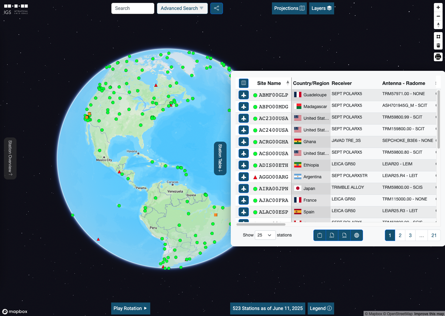
This tool is an interactive viewer that allows users to browse and see the status and historical meta information of all of the GNSS ground stations that comprise the IGS network. A subset of these stations are used to develop the international terrestrial reference frame.